
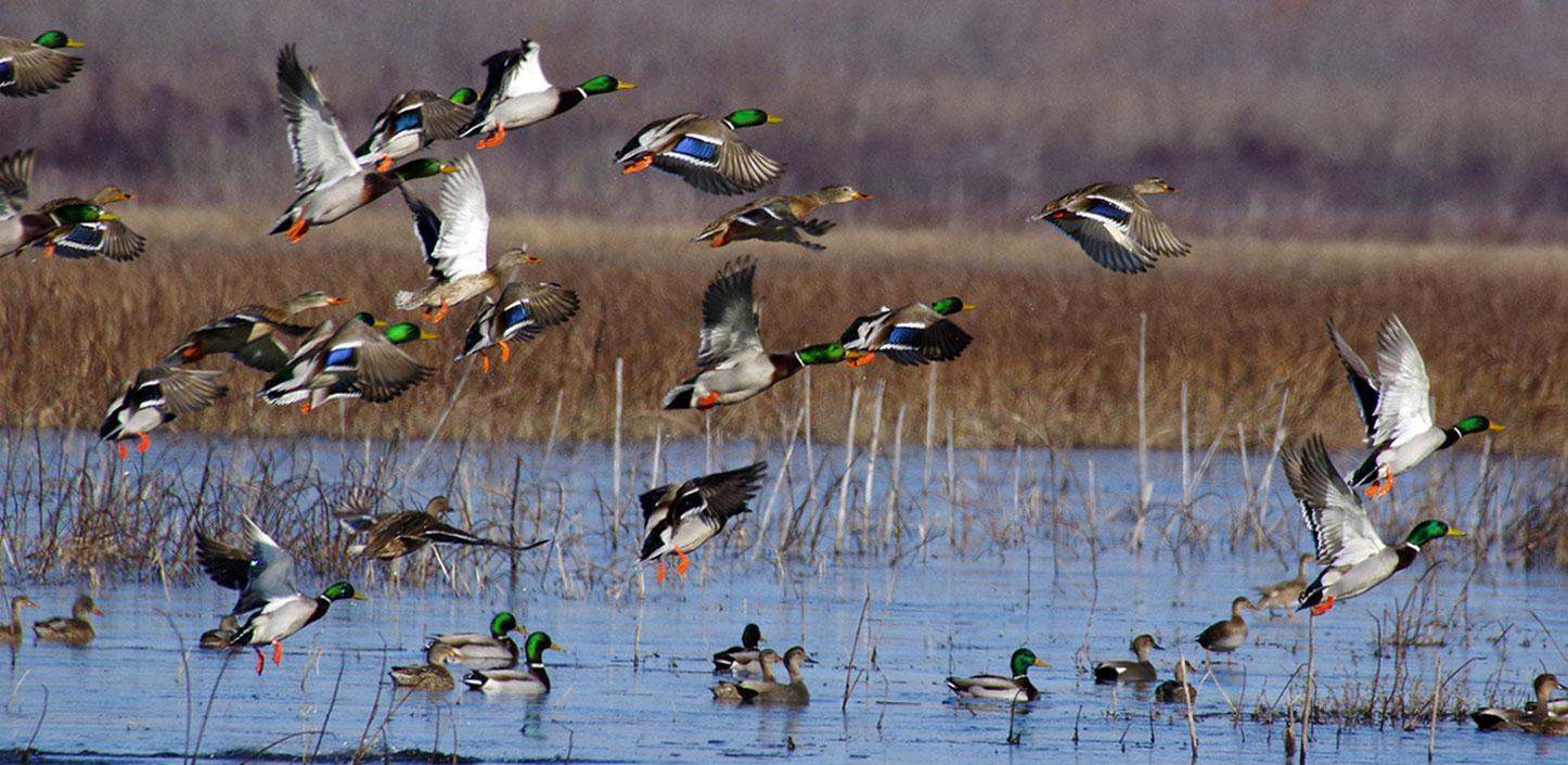
The Lower Mississippi Alluvial Valley is the nation’s largest floodplain, covering more than 24 million acres across portions Arkansas, Illinois, Kentucky, Louisiana, Mississippi, Missouri and Tennessee. Bottomland hardwood forests provide a number of ecosystem services, including water quality protection, carbon sequestration and economic benefits. The region is considered the heart of the Mississippi Flyway, where more than 40 percent of North America’s waterfowl and 60 percent of all U.S. bird species migrate or winter, and more than 100 land birds breed.
The Mississippi River and its side channels, tributaries, oxbows and backwaters support at least 90 fish species and approximately 50 freshwater mussel species. Its rich, alluvial soils support one of the most productive agricultural areas in the world, producing cotton, soybeans, corn and rice. The region’s forests produce over 375 million cubic feet of timber, valued at $290 million in annual revenues. Outdoor recreation, including hunting, fishing and wildlife viewing is estimated to generate more than $1.3 billion annually.
Over the last thirty plus years, large-scale land use changes and human modifications to land and water resources have contributed to Lower Mississippi Alluvial Valley habitat loss and degradation, collectively impairing forest health, water quality and wildlife populations. Extreme shifts in weather patterns, including larger, more frequent flooding events, followed by extended periods of drought complicate restoration efforts.
Conservation Needs & Strategies
NFWF’s Lower Mississippi Alluvial Valley Business Plan addresses the bottomland hardwood forests, wetlands and freshwater habitats, and associated species within the Lower Mississippi.
Lower Mississippi Alluvial Valley Restoration Fund
The Lower Mississippi Alluvial Valley Restoration Fund invests in on-the-ground projects to restore, enhance and conserve bottomland hardwood forest and wetland habitats to benefit wildlife and improve water quality within the Mississippi Alluvial Valley region of Arkansas, Illinois, Kentucky, Louisiana, Mississippi, Missouri and Tennessee.
Learn More