Targeted Watershed Assessments
The National Fish and Wildlife Foundation partnered with the National Oceanic and Atmospheric Administration, NatureServe and UNC Asheville's National Environmental Modeling Analysis Center, in consultation with the U.S. Army Corps of Engineers, to conduct eight in-depth Targeted Watershed Assessments.

|

|
|
Building on the concepts and methods developed in the Regional Coastal Resilience Assessments, the Targeted Watershed Assessments incorporate local data and knowledge for a more customized assessment.
The results of these Targeted Watershed Assessments are available in eight separate reports:
- Portland and Mid-coast Maine Watersheds (ME)
- Narragansett and Coastal Rhode Island Watersheds (RI)
- Delaware Bay and Coastal Watersheds (DE and NJ)
- Cape Fear Watershed (NC) (PILOT PROJECT)
- Charleston Harbor Watershed (SC)
- Savannah Watershed (GA)
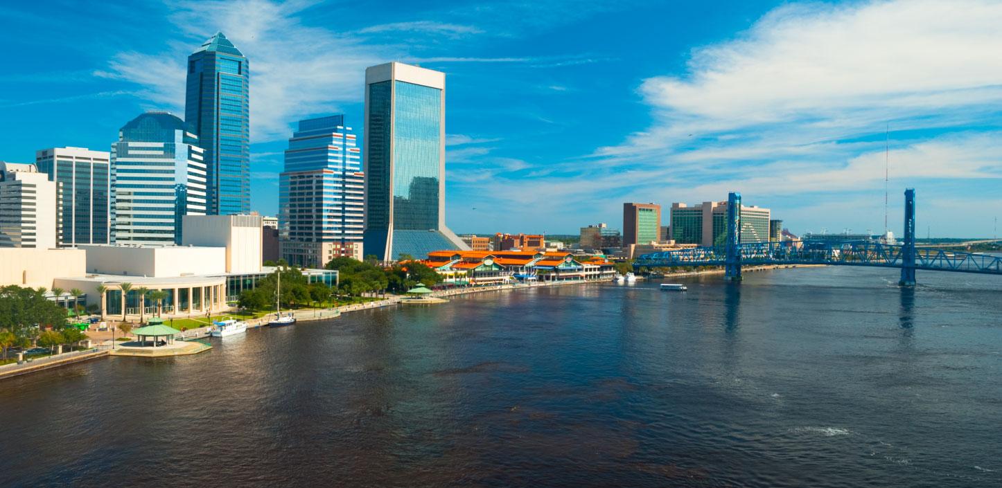
- Jacksonville and Lower St. Johns River Watersheds (FL)
- San Francisco Bay and Outer Coast Watersheds (CA)
Findings from the Targeted Watershed Assessments can also be viewed in the Coastal Resilience Evaluation and Siting Tool (CREST). Local stakeholders can use CREST to explore data products which can help inform decisions about the potential of restoration conservation or other resilience-related projects to achieve dual benefits for people and wildlife. Stakeholders can also use CREST to download detailed data packages so they may conduct in-depth analyses on their own using ArcGIS and NatureServe's VISTA Decision-Support Software.
To support access and use of these highly-detailed datasets please review NatureServe's Vista primer and webinar.