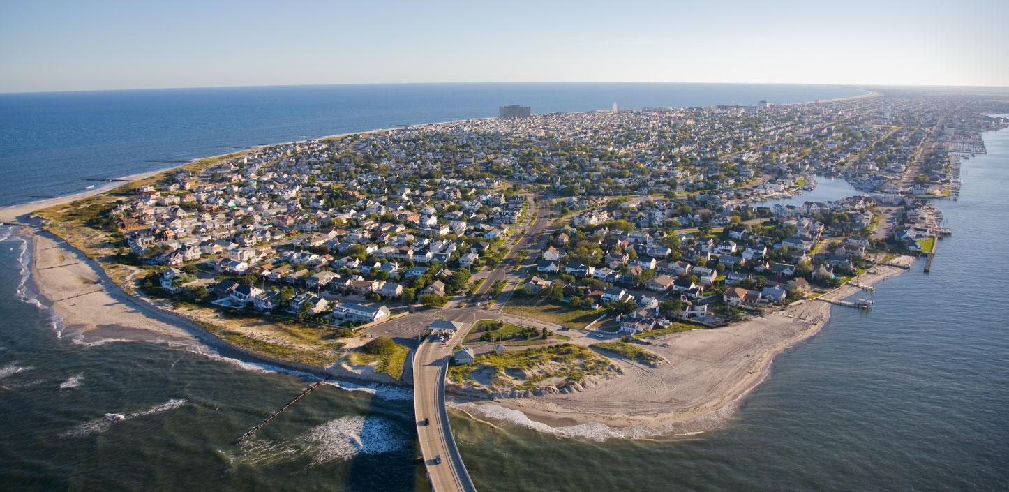
Regional Coastal Resilience Assessments
The National Fish and Wildlife Foundation, in partnership with the National Oceanic and Atmospheric Administration and UNC Asheville's National Environmental Modeling and Analysis Center, has developed Regional Coastal Resilience Assessments that identify Resilience Hubs – large areas of natural, open space or habitat where, if investments are made in conservation or restoration, there is the greatest potential for both improved human community resilience and benefits to fish, wildlife, and their habitats.

|

|
These Regional Coastal Resilience Assessments can help inform community planners, conservation organizations and other stakeholders when planning resilience-related projects. Large contiguous areas of natural habitat, which Resilience Hubs aim to identify, can provide communities with enhanced protection and buffering from the growing impacts of sea-level rise, changing flood patterns, increased frequency and intensity of storms, and other environmental stressors.
View methods and results for the Regional Coastal Resilience Assessments:
- Atlantic, Gulf of Mexico, and Pacific Coastlines of the Continental United States
- Alaska
- American Samoa – English
- Amerika Samoa – Samoa
- Guam
- Hawaii
- Commonwealth of the Northern Mariana Islands
- Puerto Rico – English
- Puerto Rico – Español
- U.S. Great Lakes
- U.S. Virgin Islands
- Methodology and Data Report for the U.S. Caribbean and Pacific Islands
View results webinars for recently completed Regional Coastal Resilience Assessments:
Coastal Resilience Evaluation and Siting Tool
Findings from the Regional Coastal Resilience Assessments are also available through CREST, an interactive mapping tool to view and download results and identify Resilience Hubs. Local stakeholders can use CREST to help inform decisions about the potential of resilience-related projects to achieve dual benefits for people and wildlife.
In addition to the Regional Coastal Resilience Assessments, NFWF partnered with NatureServe to conduct eight in-depth Targeted Watershed Assessments in the continental United States. Findings from the Targeted Watershed Assessments are also available through CREST, and through Targeted Watershed reports.
NCRF Program Manager
